
Malpasset
Malpasset Dam in Fréjus, Côte d'Azur, France.
🡇 Download ModelOverview
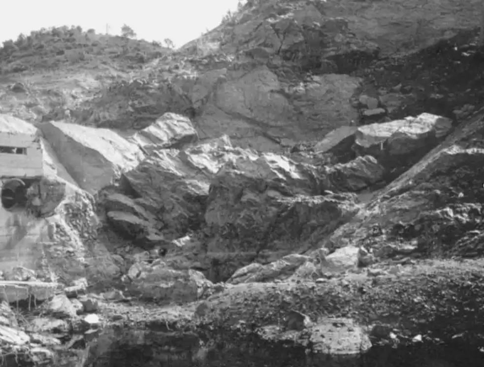
Malpasset Dam was a concrete arch dam about 10 miles upstream of the town of Fréjus on the Reyran River, France. At the time of completion in 1954, it was reported as the thinnest arch dam of its height (218 feet). Malpasset Dam failed on December 2, 1959 at approximately 9:13 PM after the area experienced several days of heavy rain and high winds.
The sudden failure of the dam resulted in the death of 421 people when emergency rescue attempts were thwarted due to the inaccessibility of the town’s flooded roadways and access routes.
Data
The following provides a short description of the data sources used for validation. The data for this validation effort was provided by BC Hydro and Spatial Vision Group.
Hydraulics
The following excerpt was taken from Johnstone (2005) [?]:
"Between February 1998 and January 2000, a study of dam break modeling (CADAM – European Concerted Action on DAmbreak Modelling) was funded by the European Union. The purpose of the project was to investigate methods and their use for simulation and prediction of the effects of dam failures. The program’s scope of work included the application of 2-dimensional (2D) flood wave modeling tools to the Malpasset event. Under the direction of EDF-LNH (Electricité de France Laboratoire National d’Hydraulique), the breach was simulated using the 2D computer model TELEMAC-2D (a computation model that solves the Saint-Venant depth averaged flow equations) (EDF, 1998) [?]. To model the Malpasset event, EDF derived a DEM using topographical mapping. However, due to the dramatic changes that occurred in the valley downstream of the Malpasset dam following the dam failure, old 1:20,000 Institut Géographique National (IGN) maps dated 1931 were used as they provided the only viable source of “pre-dam failure” topographical information (Hervouet, 1999) [?]."
Structure Inventory and Road Network
The structure inventory and road network were developed to represent their condition in 1959. This was accomplished by taking BD-TOPO data (reference year 2002) and performing a reverse change-detection to “back-cast” to a view of the Town of Fréjus and its local environs circa 1959. Additional evidence such as local maps, ground-based hand-held photos, and airborne oblique photos provided additional evidence of the actual building stock in 1959.
The structure inventory was defined with LifeSim’s default Wood-Anchored stability criteria. This decision was made based on review of the parameters used to define building type in Johnstone (2005) [?] and the raw datasets provided by BC Hydro.
Destinations
Destinations were defined at primary exit points for the evacuation. However, due to the lack of evacuation, the destination dataset has little impact on the overall results. Almost all population was caught by surprise with no time to evacuate.
Emergency Planning Zones
There was no formal warning associated with the Malpasset dam failure. As the dam began to overtop, the guardian of the dam set out on his mobylette (moped) to warn authorities; telephones were inoperable due to a telephone-company strike. The dam guardian wanted to open the valves to release water pressure. However, to prevent damage to the new bridge pylons being built for the autoroute (highway), permission was refused.
One Emergency Planning Zone was entered for the entire study area. Due to a lack of information on warning and protective action, the default Unknown functions were selected for the Warning Issuance Delay, First Alert, and Protective Action Initiation (PAI) curves. It is important to note that with no formal warning and little to no advanced notice, the warning and PAI functions have little impact on the overall results.
Alternative
To simulate the lack of an official warning, the Imminent Hazard ID Time was set to 1 hour after the breach. Zero Hazard Communication Delay is assumed.
Model Version
The original LifeSim model was developed in 2016-2017 using LifeSim version 1.0. The public model was updated in 2025 to LifeSim version 2.1.5 and produced negligible changes from the original documented results.